Relief Maps
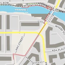
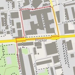
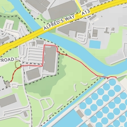
Highbridge Wharf - London
United Kingdom
›
England
›
London
Duration
00:00
Distance
1.375 km
Elevation
0.0 m
neil.bulman
neil.bulman
neil.bulman
neil.bulman
neil.bulman
Open in Relief Maps
Download GPX
All hiking routes
Other routes nearby
Regent's Canal towpath - Regent's Canal towpath - London
Chrisp Street Market - Market Way - London
Kingsbridge Road - London
Woolwich Road - London
Keepers Place - Keepers Place - London
Jodrell Road - London
Top Lock
1-33 Sawmill Yard - Sawmill Yard - London