Roca de la Gotzera
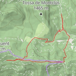
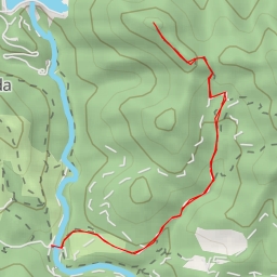
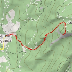
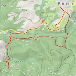
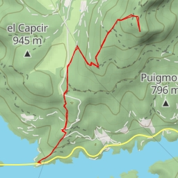
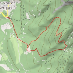
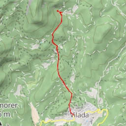
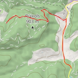
This hiking route takes you through a beautiful area with diverse landmarks to explore. The trail is an out-and-back type with a total distance of 5.392 kilometers and an elevation gain of 246 meters, making it a moderate difficulty hike.
You will start your journey at a parking area located right at the trailhead. As you begin your hike, you'll come across a refreshing spring approximately 1.26 kilometers from the start, providing a perfect spot to rest and rehydrate. Continuing on, at around 1.32 kilometers, you'll reach the peak of Gallorsa, offering panoramic views of the surrounding landscape.
Further along the trail, approximately 2.55 kilometers from the start, you'll encounter the entrance of Forat del Vent cave, adding a sense of adventure to your hike. Finally, at 2.7 kilometers, you'll reach Roca de la Gotzera, a striking rock formation that serves as the endpoint of your journey.
Remember to bring plenty of water, snacks, and appropriate hiking gear for this excursion. Checking the weather forecast before setting out is also recommended to ensure a safe and enjoyable hike. Enjoy the scenic views and natural wonders along the way!