&fill=rgba(0,0,0,0))
576
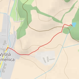
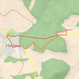
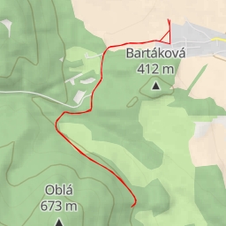
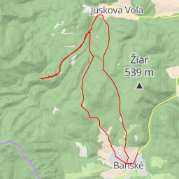
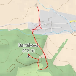
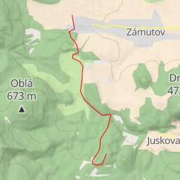
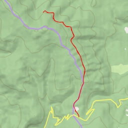
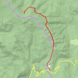
This hiking route takes you through a beautiful area with a total distance of 8.355 kilometers and an elevation gain of 210 meters, making it a difficult trek. The estimated duration for this hike is 2 hours and 27 minutes, so make sure to plan accordingly and bring enough water with you.
Starting at the parking area, you will begin your journey along the trail, passing by several historic wayside crosses. These crosses serve as interesting landmarks along the way, with some located just a short distance from the trail, while others are further away.
As you continue on, you will come across the Zapikanova chyža, a charming attraction located approximately 4.18 kilometers from the start of the trail. This is a great spot to take a break and admire the surroundings.
Further along the route, at around 3.23 kilometers from the start, you will find a shelter and an information point called Mazolín. These facilities are great for resting and learning more about the area.
Additionally, there are picnic sites scattered throughout the hike, perfect for enjoying a meal in nature. Some are closer to the beginning of the trail, while others are further away. Keep an eye out for these spots to take a well-deserved break.
For those interested in natural features, there are waterfalls and springs along the route. These refreshing sights are located at various points, offering a serene atmosphere to enjoy during your hike.
Remember to check the weather forecast before heading out and wear appropriate hiking gear. With its moderate length and elevation gain, this hike offers a challenging yet rewarding experience for outdoor enthusiasts. Whether you're a seasoned hiker or just starting out, this route provides a great opportunity to connect with nature and explore the beauty of the area.