&fill=rgba(0,0,0,0))
Zapikanova chyža - 576
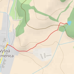
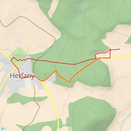
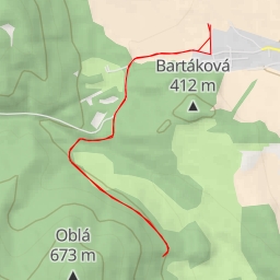
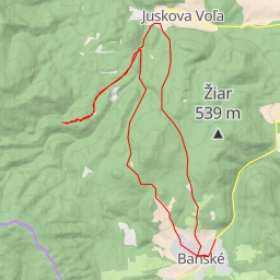
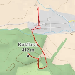
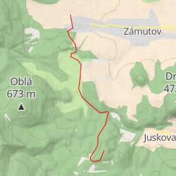
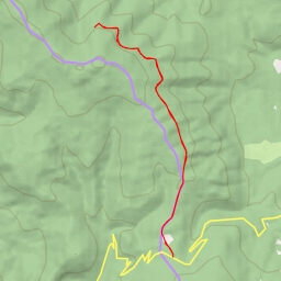
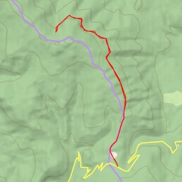
This challenging hiking route will take you to the beautiful area of Zapikanova chyža in a loop covering a distance of 8.365 kilometers with an elevation gain of 210 meters. The estimated duration for this hike is around 2 hours and 27 minutes.
Starting from the parking area, you'll begin your journey through the picturesque trails. Along the way, you'll come across several points of interest. At the beginning of the trail, you'll find a wayside cross located just 0.06 kilometers from the starting point. As you continue, you'll encounter more historic wayside crosses scattered throughout the route.
Approximately 2 kilometers from the start, you'll reach a beautiful spring where you can take a break and enjoy the natural surroundings. Further ahead, at around 3.23 kilometers into the hike, you'll find Mazolín, an informational point providing insights about the area.
Midway through the hike, at approximately 3.23 kilometers from the start, there is a shelter available for hikers to rest and refuel. As you proceed, you'll pass by a picnic site where you can relax and have a meal while taking in the scenic views.
Towards the end of the hike, at around 4.18 kilometers from the start, you'll reach Zapikanova chyža, a historic attraction worth exploring. Additionally, there are several waterfalls in the area, with some located close to the trail, offering a refreshing sight for hikers.
Given the difficulty level of this hike, it is essential to be prepared with ample water, snacks, and proper hiking gear. Checking the weather forecast before embarking on this journey is also advisable. Whether you're an experienced hiker or a nature enthusiast looking for a challenge, this hike to Zapikanova chyža promises a rewarding adventure amidst the beauty of the outdoors.