&fill=rgba(0,0,0,0))
Žabí korunka


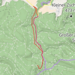
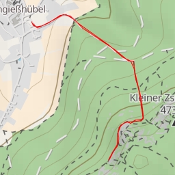
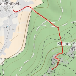
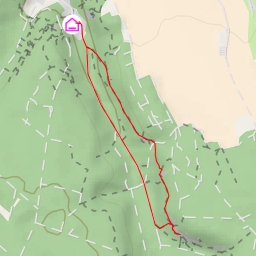
This hiking route takes you through the beautiful area of Tisá, known for its stunning rock formations and fascinating history. The trail is super easy, with a total distance of 0.701 kilometers and an elevation gain of 36 meters, making it suitable for hikers of all levels.
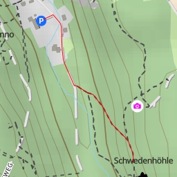
As you start your hike, you will come across Refugio, a cozy restaurant just 0.08 kilometers from the trail. Along the way, you will also encounter Malé Tiské stěny, an impressive rock formation located 0.28 kilometers from the start, and Skalní náměstí, another noteworthy attraction 0.27 kilometers from the beginning of the trail.
Before embarking on this hike, be sure to bring plenty of water, as the trail can be quite rocky and exposed. Additionally, check the weather forecast beforehand to ensure a safe and enjoyable experience.
Whether you're a beginner looking for a leisurely hike or a seasoned hiker seeking beautiful rock formations, this trail in Tisá is sure to delight and inspire. Enjoy the serenity of nature and the rich history of the area as you explore Žabí korunka and its surrounding attractions.