&fill=rgba(0,0,0,0))
Gaissteig
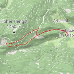
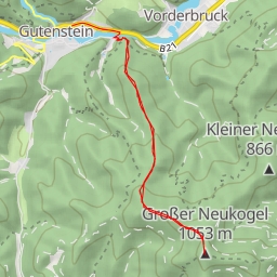
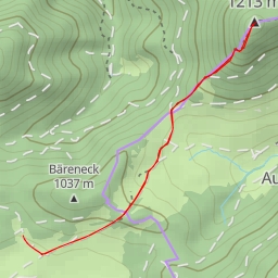
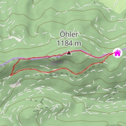
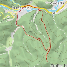
Welcome to the Gaissteig hiking route, a challenging trek that covers a distance of 7.798 kilometers with an elevation gain of 843 meters. This route is perfect for those looking for a thrilling outdoor adventure amidst nature's beauty.
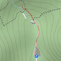
The trail starts at a parking area near Schnellerwag-Halbhöhlen cave entrance. As you begin your journey, you'll pass by benches where you can take a moment to rest and enjoy the peaceful surroundings. Around 3.9 kilometers into the hike, you'll reach a peak offering breathtaking views of the landscape.
Further along the trail, you'll come across the Schneerosenloch cave entrance, a fascinating natural site that's worth exploring. A viewpoint at 1.55 kilometers provides a perfect spot to take in the scenery and capture memorable photos.
Midway through the hike, you'll encounter the Fuchspassquelle spring, a refreshing sight to replenish your water supply. As you continue towards the endpoint, you'll pass by a historic boundary stone at 2.36 kilometers, adding a touch of heritage to your trek.
The return journey will take you back along the same route, allowing you to appreciate the trail from a different perspective. It's essential to bring an adequate amount of water, wear sturdy hiking boots, and check the weather forecast before setting off on this challenging adventure.
Overall, the Gaissteig hiking route offers a rewarding experience for outdoor enthusiasts seeking a test of their physical stamina and a chance to explore the natural wonders of the area. Enjoy the journey and stay safe on the trails!