Kammweg - Kammweg




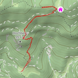
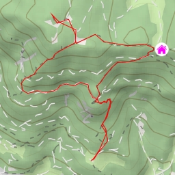
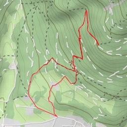
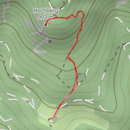
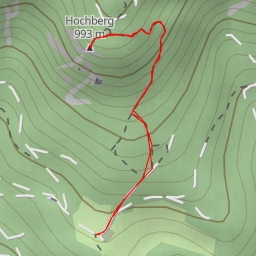
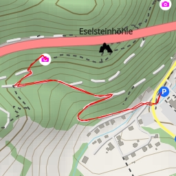
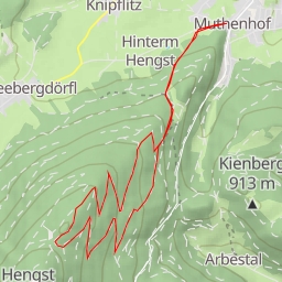
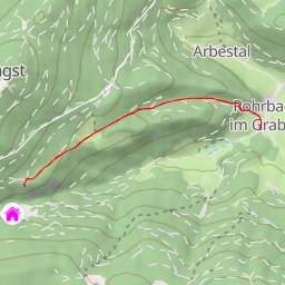
This challenging hiking route takes you along the Kammweg trail, offering stunning views of the surrounding area. The trail spans a total distance of 7.74 kilometers and features an elevation gain of 823 meters, making it a difficult but rewarding trek.
As you start your hike, you'll come across the Bachingerbründl spring, located 1.88 kilometers from the trailhead. This natural spring is a great spot to rest and replenish your water supply. Further along the trail, at 3.78 kilometers from the start, you'll find the Hohe Kanzel peak, although it's slightly off the trail. The peak offers panoramic vistas and is worth the extra effort to reach.
Throughout your journey, you'll encounter several cave entrances, including the Großes Schwarzloch, Kleines Schwarzloch, Glockenblumenhöhle, and others. These unique geological features add an element of adventure to the hike and provide opportunities for exploration.
Informational points such as the Wasserwirtschaft site and various benches are scattered along the trail, offering insights into the area's history and providing resting spots for hikers. It's advisable to bring an ample water supply, especially on hot days, and to check the weather forecast before embarking on this challenging hike.
At the turnaround point, you'll reach the destination of the Kammweg trail, where you can take in the breathtaking views before retracing your steps back to the starting point. This out-and-back route provides a memorable outdoor experience for hikers looking to test their skills and enjoy the natural beauty of the area.