Teufelsturm
Welcome to the Teufelsturm hiking route!
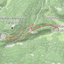
This challenging circular trail covers a distance of 7.25 kilometers with an elevation gain of 516 meters, taking approximately 2 hours and 58 minutes to complete. The trail starts at the parking area, where you can leave your vehicle before embarking on this adventure.
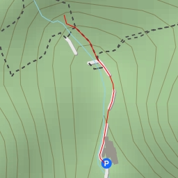
Along the way, you will come across various points of interest. At the beginning of the hike, you will find an information point called Wasserwirtschaft, providing insights into the local water management. Further along, at approximately 0.55 kilometers from the start, there is another information point to delve into.
One of the highlights of this hike is the Teufelsturm peak, located approximately 3.56 kilometers from the start. This natural wonder offers breathtaking views and a rewarding sense of accomplishment upon reaching the top.
As you continue on your journey, be sure to stay hydrated and pack enough water for the duration of the hike. It is also recommended to check the weather forecast before heading out to ensure a safe and enjoyable experience.
Overall, the Teufelsturm hiking route offers a mix of nature, history, and physical challenge, making it a must-visit for outdoor enthusiasts looking for an exciting and rewarding adventure. Enjoy your hike!