&fill=rgba(0,0,0,0))
Wangenitzseehütte


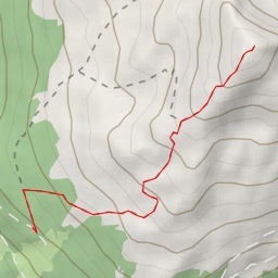
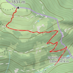
This hiking route will take you through the breathtaking scenery of the Wangenitzseehütte area. The 10.129-kilometer trail offers a challenging experience with an elevation gain of 877 meters, making it a difficult hike suitable for experienced hikers.
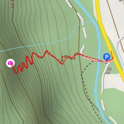
Starting at the parking area in Seichenbrunn, you will begin your journey towards Wangenitzseehütte. Along the way, you will encounter several points of interest. About 2.95 kilometers into the hike, you will reach the picturesque Kreuzsee. This beautiful alpine lake is a perfect spot to take a break and admire the surrounding natural beauty.
Continuing on, at around 4.2 kilometers, you will pass by Untere Seescharte, a saddle offering stunning panoramic views of the area. As you trek further, at 4.49 kilometers, you will come across a water feature and a little further at 4.75 kilometers, another water point is situated.
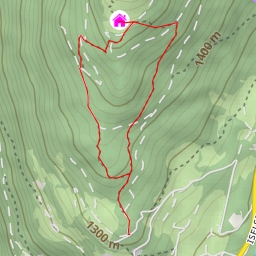
Finally, after a challenging but rewarding hike, you will reach your destination, Wangenitzseehütte, located at 5.06 kilometers from the start point. This alpine hut offers a cozy resting place and the opportunity to refuel before making your way back.
Remember to bring plenty of water, snacks, and appropriate hiking gear. It is also recommended to check the weather forecast before setting out on this adventure. Whether you're a seasoned hiker or looking for a new challenge, the Wangenitzseehütte hiking route promises an unforgettable experience in the Austrian Alps.