&fill=rgba(0,0,0,0))
Hofgasteiner Haus


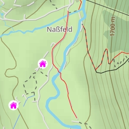
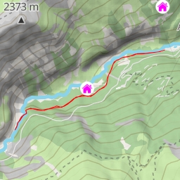
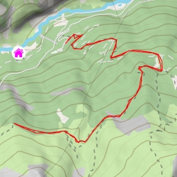
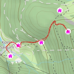
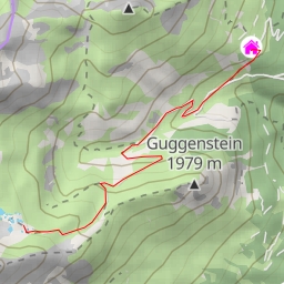
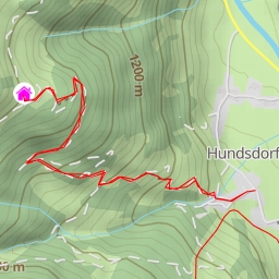
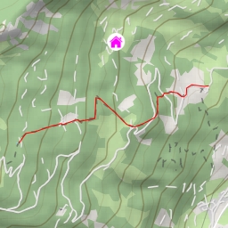
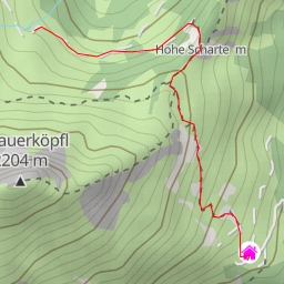
This hiking route will take you through the beautiful area surrounding Hofgasteiner Haus. The trail is 10.853 kilometers long with an elevation gain of 730 meters, making it a difficult hike that will challenge even experienced hikers. It is recommended to bring plenty of water and snacks, as well as check the weather forecast before heading out.
Starting at the parking area right at the beginning of the trail, you will make your way towards Angertal, a picturesque spot just 0.4 kilometers away. Along the way, you will pass by informational points such as Hochberg at 1.14 kilometers and a spring called Wirth Bründl at 2.6 kilometers from the start. These points offer interesting insights into the area's history and natural features.
As you continue on your journey, you will come across a viewpoint at 5.4 kilometers, which offers a stunning perspective of the surrounding landscape. Further along the trail, at 4.34 kilometers, you will find an alpine hut called Haitzingalm, where you can take a well-deserved break and enjoy some local delicacies.
Midway through the hike, at 2.99 kilometers, you will reach Gaberlhütte, another alpine hut where you can rest and refuel before heading back. On the way back, be sure to stop at Lackenbauer, a restaurant located just 0.29 kilometers from the start, to treat yourself to a delicious meal.
Throughout the hike, you will also come across benches and informational points where you can take a break and learn more about the area. Keep an eye out for drinking water sources, especially at 0.29 kilometers into the hike, to stay hydrated.
Overall, this out-and-back hike to Hofgasteiner Haus offers a challenging yet rewarding outdoor experience for hikers who are looking to explore the stunning Austrian landscape.