&fill=rgba(0,0,0,0))
Sächsmoorweg


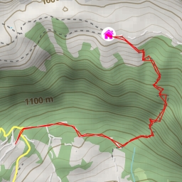
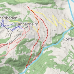
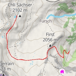
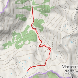
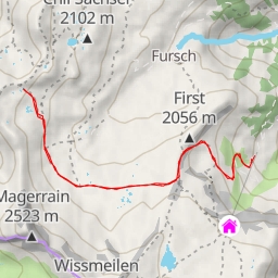
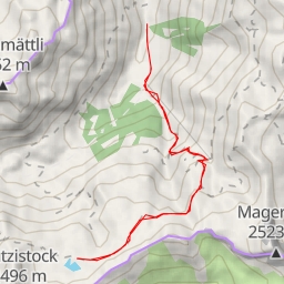
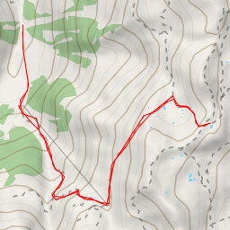
This hiking route takes you through the picturesque area of Sächsmoorweg, offering stunning views and challenging terrain. The trail covers a distance of 9.492 kilometers with an elevation gain of 1155 meters, making it a difficult but rewarding hike that will take approximately 5 hours and 5 minutes to complete.
As you start your journey, you will come across the Heusee, a beautiful water body located 3.56 kilometers from the trailhead. Along the way, you will find informational points providing insight into the area and facilities such as parking spots and benches for resting.
Midway through the hike, at 4.73 kilometers from the start, you will reach the peak of Gross Güslen, offering panoramic views of the surrounding landscape. As you continue, you may encounter the Chli Güslen peak at 4.37 kilometers, which is slightly off the trail but worth the detour for more spectacular views.
Throughout the hike, you will find amenities such as the Gemsli restaurant at 0.12 kilometers from the start, providing a place to refuel and rest before continuing on. Additionally, there are drinking water sources and picnic sites along the trail for your convenience.
It is recommended to bring an ample water supply, as well as snacks and proper hiking gear for this challenging trek. Additionally, checking the weather forecast before embarking on the hike is essential for a safe and enjoyable experience.
Whether you are a seasoned hiker looking for a challenge or a nature enthusiast seeking breathtaking views, the Sächsmoorweg hiking route offers a memorable outdoor adventure in the heart of nature.