Hochstraße
Welcome to the Hochstraße hiking route!
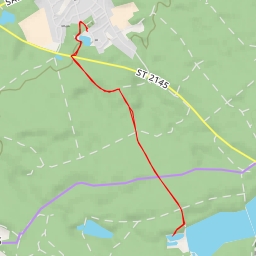
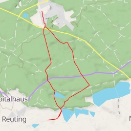
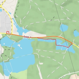
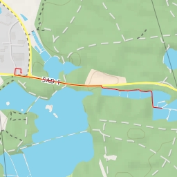
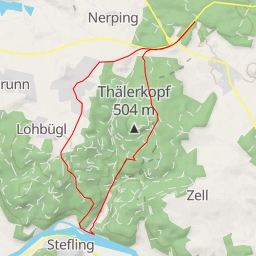
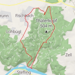
The area you will explore is known for its natural beauty and historical landmarks. The hike is a circular route with a total distance of 2.984 kilometers and an elevation gain of 33 meters, making it an easy hike suitable for all skill levels.
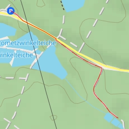
As you start your journey, you will pass by the Pendlerparkplatz Ponholz parking area, which is located just 4.114 meters from the trail. This is a convenient spot to leave your vehicle and begin your adventure.
As you continue on the trail, you will come across several water features including streams and ponds, where you can take a break and enjoy the serene surroundings. These water points are located at varying distances from the trail, providing you with opportunities to relax and take in the scenery at different points along the route.
One of the highlights of the hike is the Historische Brücke (Historical Bridge), located at the beginning of the trail. This landmark offers a glimpse into the area's rich history and is a great spot for photos.
Additionally, you may come across boundary stones that mark historical boundaries along the trail. These stones are located at various points, adding to the historical charm of the hike.
Remember to bring plenty of water, snacks, and sunscreen for your hike. It's also recommended to check the weather forecast before setting out to ensure a safe and enjoyable experience.
Overall, the Hochstraße hiking route offers a scenic and leisurely journey through nature, with a mix of historical landmarks to discover along the way. Enjoy your adventure!