&fill=rgba(0,0,0,0))
Kohlkreuz - Rosalia


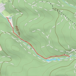
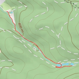
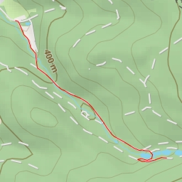
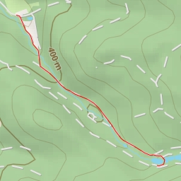
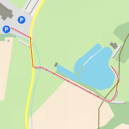
Welcome to the Kohlkreuz - Rosalia hiking route! This super easy circular trail covers a distance of 1.471 kilometers with an elevation gain of 34 meters, making it perfect for beginners or those looking for a leisurely hike.
Starting at the parking area, you'll begin your journey towards the Kohlkreuz, an historic wayside cross dating back to ancient times, located just 0.45 kilometers from the start of the trail. Along the way, you'll pass by benches where you can take a moment to rest and enjoy the surrounding nature.
As you continue on, you'll come across an information point that provides insights into the area's history and points of interest. At 0.54 kilometers from the start, there's another bench where you can take in the views before reaching the peak of Rosalia at the same distance mark.
The trail also passes boundary stones marking historical boundaries, adding a touch of intrigue to your hike. Just before reaching the endpoint, you'll come across more benches for a final rest before completing the loop.
Remember to bring plenty of water, wear appropriate hiking shoes, and check the weather forecast before setting out. With its short distance and minimal elevation gain, this hike is perfect for a leisurely stroll in nature. Enjoy your hike along the Kohlkreuz - Rosalia route!
Other routes nearby