la Cabanera - la Cabanera
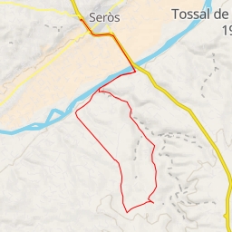
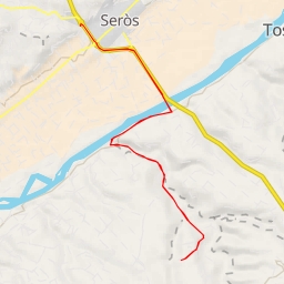
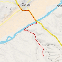
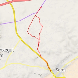
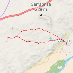
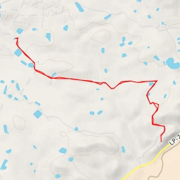
This challenging circular hiking route in the area of la Cabanera will take you on a 7-kilometer journey with an elevation gain of 33 meters. The hike is expected to take around 1 hour and 42 minutes to complete.
As you begin your hike, you will come across a parking area conveniently located right at the start of the trail. Continuing on, about 1 kilometer into the hike, you will find a water source off the trail. Make sure to refill your water bottles here as the next water stop is about 2.73 kilometers away.
At around 2.58 kilometers into the hike, there is another water source directly on the trail, making it a good spot to rest and hydrate. As you approach the 3.37-kilometer mark, you will encounter more water sources along the trail, providing ample opportunities to rehydrate.
Around the midpoint of the hike, at 1.93 kilometers, there is another water source. This is a good spot to take a break and enjoy the surroundings before continuing on.
Towards the end of the hike, at 1.22 kilometers from the start, there is another water source conveniently located on the trail. Take advantage of this last opportunity to refill your water bottles before finishing the hike.
This route is classified as difficult due to its length and elevation gain. Make sure to wear appropriate hiking gear, bring plenty of water, and check the weather forecast before setting out. Enjoy the scenic views and natural beauty along the way!