&fill=rgba(0,0,0,0))
grotte
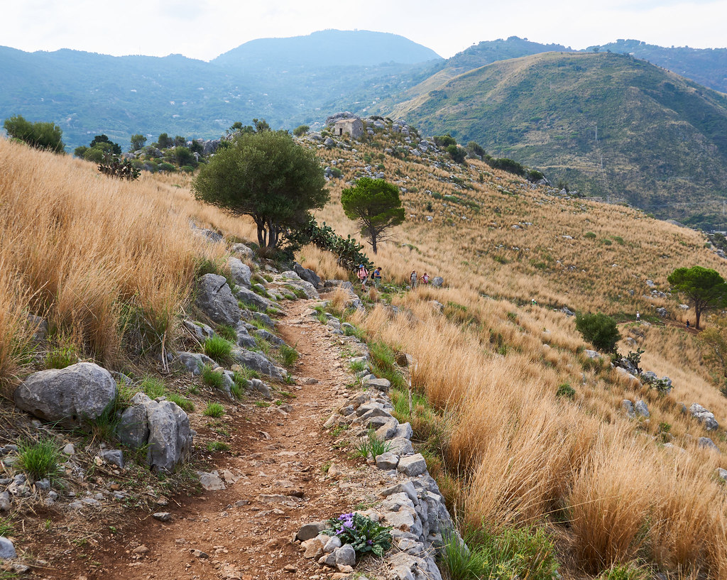


This hiking route takes you through the beautiful area surrounding the destination of grotte. The trail is a circular route, starting at the coordinates 14.022393, 38.035284 and reaching the destination coordinates at 14.024995, 38.037163.
As you begin your hike, you will come across several points of interest along the way. The first notable feature you will encounter is the Tempio di Diana, an archaeological site located at a distance from the start. Further along, you will find ruins of historic significance such as the Guard House/Barracks, ruins, and the Nicola Botta memorial.
As you continue on the trail, you may come across facilities like benches and drinking water stations for your convenience. Keep an eye out for the viewpoints that offer panoramic views of the surrounding landscape, providing a perfect spot to take a break and admire the scenery.
The total distance of the hike is approximately 13.05 kilometers with an elevation gain of 104 meters. While the trail may present some challenges due to its length and elevation, it is suitable for hikers of intermediate skill levels.
Before embarking on this hike, ensure you bring an ample water supply, snacks, and proper hiking gear. Additionally, check the weather forecast beforehand to be prepared for any changes in conditions. Enjoy the hike and soak in the natural beauty and historical significance of the area.


