Dickenbergwand
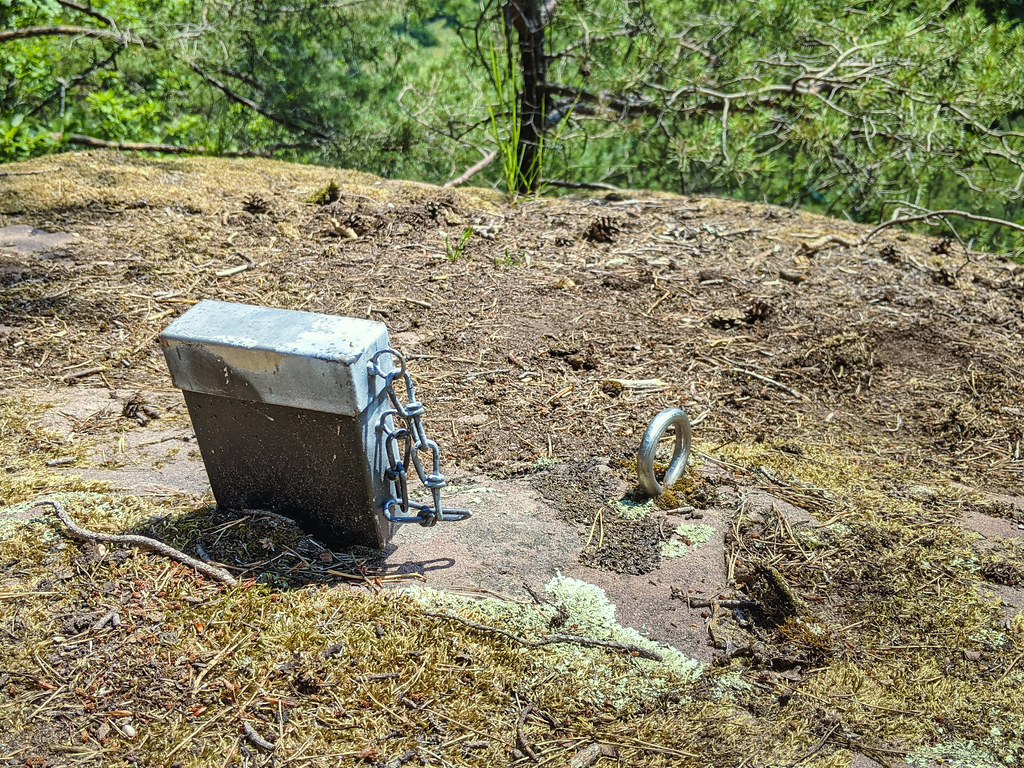
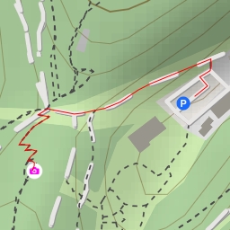
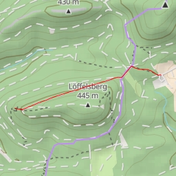
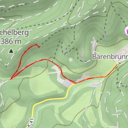
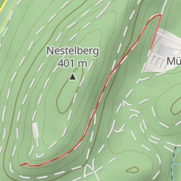
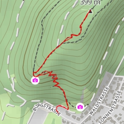
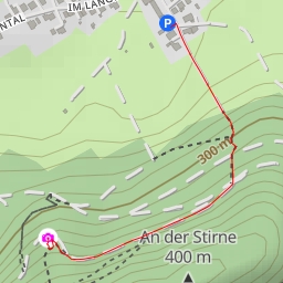
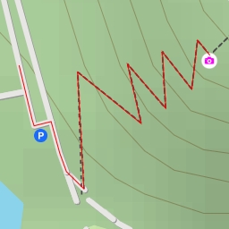
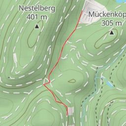
This hiking route takes you through the beautiful area surrounding the Dickenbergwand. The trail is a circular route, starting at coordinates 7.822387, 49.13624 and reaching its destination at 7.814615, 49.133784. The total distance of the hike is 2.627 kilometers with an elevation gain of 38 meters. The estimated duration of the hike is 35 minutes.
As you embark on this adventure, you will encounter various points of interest along the way. Starting off, you will come across the Dickenbergwand, a popular spot for climbing enthusiasts, just 1 kilometer from the starting point. The Strackfelsen and Busenberger Turm are also nearby, offering more climbing opportunities.
As you continue on the trail, you will pass by the Schindharder Turm and Abschiedsfels, each providing unique climbing experiences. Be sure to take a moment to appreciate the views from the Dickenbergtürmchen, located 1 kilometer from the starting point.
Throughout the hike, you will find benches and information points where you can rest and learn more about the area. Make sure to bring plenty of water and check the weather forecast before setting out on this excursion. The trail offers a moderate level of difficulty due to its length and elevation gain.
With its stunning rock formations and scenic viewpoints, this hike in the Dickenbergwand area is sure to be a memorable outdoor experience. So lace up your hiking boots and get ready to explore the natural beauty of this region.