Haferfels / Schützenwand
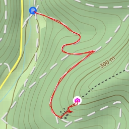
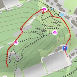
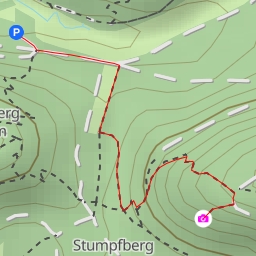
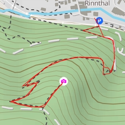
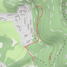
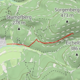
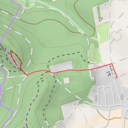
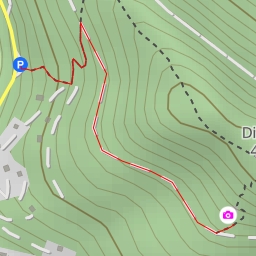
This hiking route takes you through the beautiful area surrounding Haferfels / Schützenwand, starting at the coordinates 7.80006, 49.150095. The destination of the hike is Haferfels / Schützenwand, located at coordinates 7.798414, 49.147763.
As you begin your journey, you will pass by various points of interest along the way. Just at the start, you will find the Burgschänke Burg Altdahn, which is a great spot to grab a bite to eat before heading out on your adventure. Not far from there, you'll come across the Schützenwand, a popular climbing spot for enthusiasts looking for a challenge.
As you continue on, you'll encounter historic sites such as the Burg Grafendahn and Burg Tanstein, two majestic castles that offer a glimpse into the area's rich history. For those interested in taking in the views, there are several viewpoints along the route, including the Dreiburgenblick, where you can pause and admire the stunning scenery.
Throughout the hike, you'll also find benches and information points scattered along the trail, providing opportunities to rest and learn more about the surroundings. Be sure to check out the wayside cross and the artwork "Herz" for unique cultural experiences.
This circular route spans a distance of 1.748 kilometers and has minimal elevation gain, making it suitable for hikers of all levels. However, it's always important to come prepared with plenty of water, appropriate footwear, and to check the weather forecast before embarking on your journey. Take your time to enjoy the peaceful surroundings and the historical landmarks that this hike has to offer.