Mottone della Tappa
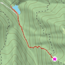
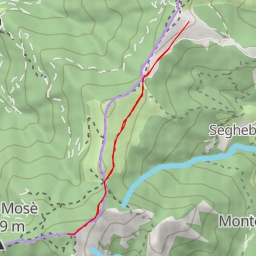
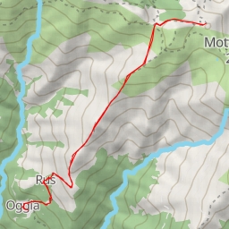
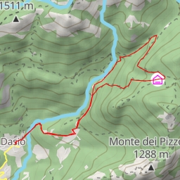
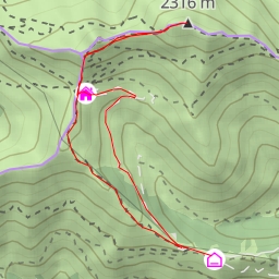
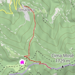
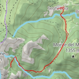
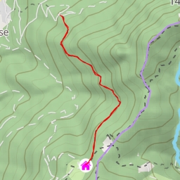
This challenging hiking route takes you through the breathtaking landscape of Monte Stabiello in Italy. With a total distance of 10.54 kilometers and an elevation gain of 1192 meters, this 5-hour and 25-minute trek is sure to test your endurance and reward you with stunning panoramic views.
Starting at the trailhead, you will first come across the parking area, located right at the beginning of the route. Make sure to park your car here and prepare yourself for the demanding ascent ahead. As you make your way along the trail, you will encounter various points of interest, including Cima della Segonaia, Cima del Vallone, and Monte Stabiello itself.
At 3.3 kilometers into the hike, you will reach Cima del Vallone, a prominent peak offering mesmerizing vistas of the surrounding mountains. Further along the trail, at 4.23 kilometers, you will find Cima della Segonaia, another majestic peak that is a perfect spot to take a break and soak in the majestic scenery.
After pushing through the challenging terrain, you will finally reach the ultimate destination of the hike - Mottone della Tappa, located 5.27 kilometers from the start. This peak offers a sense of accomplishment as you stand at the summit and admire the stunning views that stretch out before you.
Throughout the hike, remember to stay hydrated and bring plenty of water to keep you energized. Additionally, check the weather forecast before embarking on this trek to ensure a safe and enjoyable experience. So, lace up your hiking boots, pack your essentials, and get ready to conquer Monte Stabiello on this epic out-and-back adventure.