Relief Maps
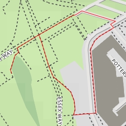
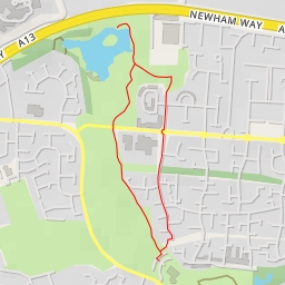
Greenwich Park - Lasseter Place - London
United Kingdom
›
England
›
London
Duration
00:26
Distance
1.527 km
Elevation
34.0 m
CoasterMadMatt
Waterford_Man
stradders06
Jeffery Johnson
deboh76
Open in Relief Maps
Download GPX
All hiking routes
Other routes nearby
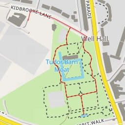
Bush Road - Bush Road - London
The Lake
Pond to south fence - Pond to south fence - London
Olympic Rings
Edith Nesbit Walk - London
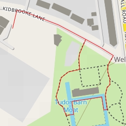
Tudor Barn Moat
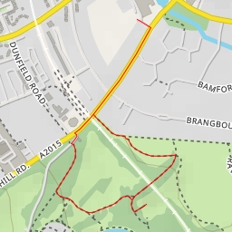
Brangbourne Road - London
Newham Way - London