&fill=rgba(0,0,0,0))
Camí aeri N-O de Sant Honorat


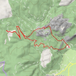
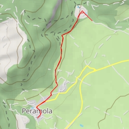
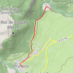
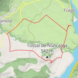
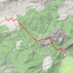
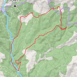
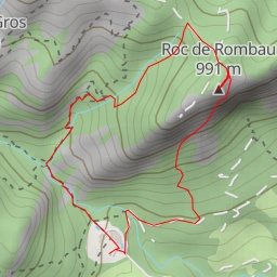
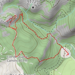
This hiking route takes you through the beautiful area of Camí aeri N-O de Sant Honorat. The trail is circular and spans a distance of 4.877 kilometers with an elevation gain of 383 meters, making it a moderate difficulty hike. The estimated duration for this hike is 2 hours and 5 minutes.
As you start your journey, you will come across various points of interest along the way. At the beginning of the trail, there is a parking area located 0.07 kilometers from the start, where you can safely leave your vehicle before embarking on the hike.
Midway through the hike, you will find a viewpoint at a distance of 1.71 kilometers from the start, offering panoramic views of the surrounding landscape. Continuing on, you will encounter an information point about 2.21 kilometers from the start, providing insights into the local area's history and attractions.
As you progress further, you will see the peak of Roc de Picapoll (Roca de la Presó) at a distance of 2.26 kilometers from the start. This natural landmark offers a great vantage point to admire the stunning scenery. Additionally, there are benches along the trail where you can take a rest and soak in the tranquil ambiance.
It is recommended to bring an ample water supply, especially on warmer days, and to check the weather forecast before setting out on the hike. Proper hiking gear and sturdy footwear are also essential for a comfortable and safe trek. Enjoy the serene surroundings and the natural beauty that Camí aeri N-O de Sant Honorat has to offer on this invigorating hike.