730
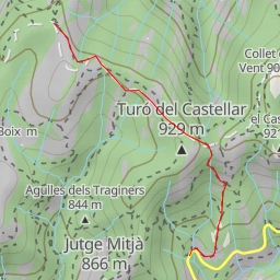
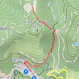
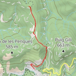
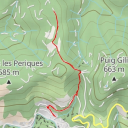
This hiking route takes you through the beautiful area surrounding peak 730. With a total distance of 4.52 kilometers and an elevation gain of 240 meters, this hike is rated as easy and is perfect for hikers of all levels.
As you start your journey, you will come across several points of interest along the trail. About 0.1 kilometers from the start, you'll find parking areas for convenience. Further along, at 0.26 kilometers, there is a picnic site and Bassa del Furgarà, a water feature.
As you continue on, you'll encounter informational points like SL C 66 and SL C 66/67/69, providing insight into the surrounding area. At the halfway point, around 2.15 kilometers in, you'll reach the peak Pujol del Llobet, offering stunning panoramic views of the area.
Along the way, you'll also pass by various springs such as Font de l'Era, Font del Foradot, and Font del Formatget, providing refreshing stops for water. Additionally, there are restaurants like el Carter, Hostal de Mura, Les Olles del Caus, and Cal Carter nearby for a meal or snack.
Before embarking on this hike, ensure you have an adequate water supply, sturdy hiking shoes, and check the weather forecast. Whether you're a beginner or experienced hiker, this route offers a delightful outdoor experience with nature's beauty at every turn. Enjoy your trek to peak 730!