&fill=rgba(0,0,0,0))
Malga Lora - SP76
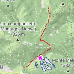
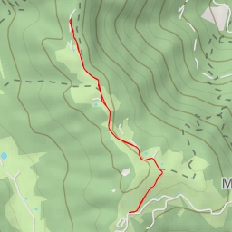
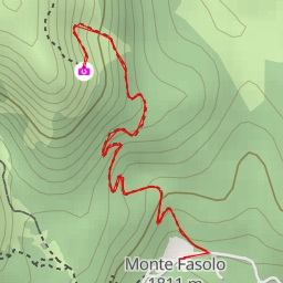
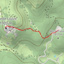
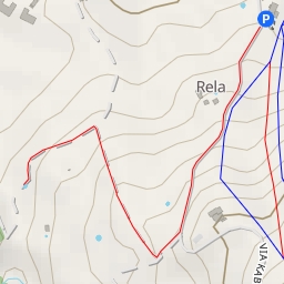
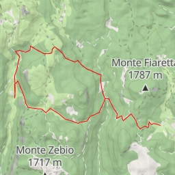
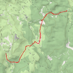
Welcome to the Malga Lora hiking route, a challenging 11.382-kilometer out-and-back trail that will take you through the stunning natural beauty of the area. The route has an elevation gain of 862 meters, making it a difficult but rewarding hike.
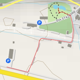
At the beginning of the trail, you will find convenient parking at about 0.0 kilometers from the start. Make sure to pack plenty of water and snacks for the journey ahead, as well as checking the weather forecast before setting out.
As you make your way along the trail, you will come across several points of interest. At around 0.29 kilometers from the start, you will encounter a beautiful rock formation, followed by another at 0.33 kilometers. These natural wonders add to the picturesque landscape of the hike.
Midway through the route, at approximately 3.43 kilometers from the start, you will find the monument of Malga Slapeur, a historic site worth exploring. Further along, at 3.76 kilometers, there is an information point where you can learn more about the area.
As you continue your journey, you will pass by several water features, including a river at 2.94 kilometers, and a larger body of water at 3.52 kilometers. These spots are perfect for taking a rest and enjoying the peaceful surroundings.
Towards the end of the trail, at 5.0 kilometers from the start, you will reach Monte Castelgomberto, a peak offering magnificent panoramic views of the surrounding landscape. Take your time to soak in the beauty before heading back the way you came.
Be prepared for a long hike, with an estimated duration of 4 hours and 47 minutes. The route may be challenging, but the breathtaking scenery and fascinating points of interest along the way make it a must-do for avid hikers.
So lace up your hiking boots, grab your gear, and embark on an unforgettable adventure along the Malga Lora hiking route.