&fill=rgba(0,0,0,0))
Monte Spil
Welcome to the hiking route to Monte Spil!
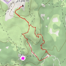
Located in a beautiful area, this 11.8-kilometer out-and-back trail offers stunning views and a challenging hike. With an elevation gain of 801 meters, this difficult trail will take approximately 4 hours and 44 minutes to complete.
As you start your journey, you'll come across some interesting points of interest. About 290 meters into the hike, you'll find a rock formation and at 330 meters, another rock formation can be spotted. Along the way, there are various water bodies, some closer to the trail than others, providing a serene ambiance.
Midway through the hike, at around 5.4 kilometers from the start, you'll encounter the peaks of Monte Fior and Monte Spil, offering breathtaking panoramic views. Additionally, a cave entrance, informative signposts, and benches can be found along the trail, providing rest spots and interesting insights into the area's history and geography.
Remember to bring plenty of water, snacks, and proper hiking gear. Check the weather forecast before heading out and make sure to inform someone about your hiking plans for safety.
Enjoy your hike to Monte Spil, and take in the natural beauty and tranquility of the surroundings!