&fill=rgba(0,0,0,0))
Donaublick

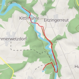
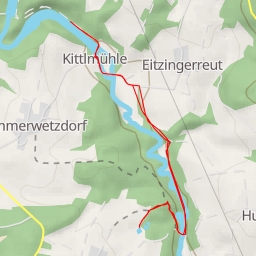
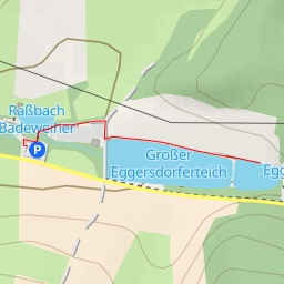
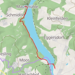
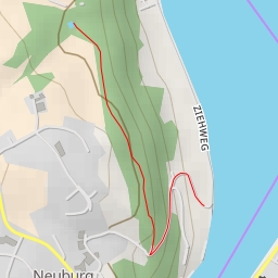
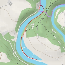
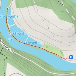
This hiking route takes you through a beautiful area with stunning viewpoints and convenient amenities along the way. Starting at the trailhead, you will pass by a parking area at the beginning of the route. As you continue, you'll come across another parking area, this time with limited wheelchair access.
Around the 0.12 kilometers mark, there is a natural water source located a short distance from the trail. It's a great spot to refill your water bottle and take a break. Further along the trail, at the 0.04 kilometers mark, you'll find Gasth. Kernmühle, a restaurant where you can rest and refuel before continuing your hike.
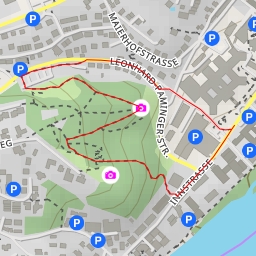
One of the highlights of this route is the Donaublick viewpoint, located 1.12 kilometers from the start. This viewpoint offers a breathtaking panoramic view of the surrounding area and is a perfect place to stop and take in the scenery. Another notable viewpoint is the Hochstein Donaublick, situated 1.08 kilometers from the start.
With a total distance of 2.23 kilometers and an elevation gain of 138.0 meters, this hike is rated as easy and suitable for hikers of all skill levels. However, it's always a good idea to bring plenty of water, wear sturdy shoes, and check the weather forecast before embarking on this adventure. Enjoy the beauty of the Donaublick hiking route and take in the incredible views along the way!