&fill=rgba(0,0,0,0))
Weil


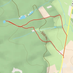
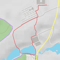
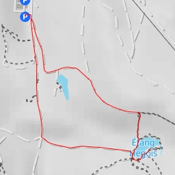
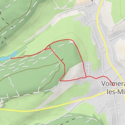
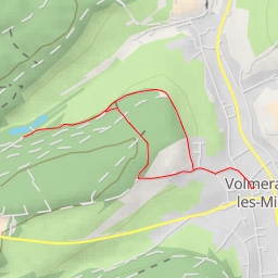
This hiking route in the area of Weil is a super easy trail with a distance of 0.886 kilometers and an elevation gain of 35 meters, taking approximately 17 minutes to complete. Before embarking on this hike, make sure to bring enough water and check the weather forecast.
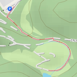
Starting at the parking area, you will find yourself at a viewpoint 0.42 kilometers into the hike, offering a beautiful panoramic vista of the surroundings. Further along the trail at the 0.22 kilometer mark, there is a bench where you can take a break and enjoy the peaceful surroundings. As you continue on, you will come across another viewpoint at the 0.36 kilometer mark, providing another opportunity to take in the scenic views.
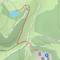
Along the way, you may also spot two cave entrances, one at the 0.3 kilometer mark and the other at the 0.26 kilometer mark. Although the caves are not directly on the trail, they offer a unique natural feature to explore if you are up for a short detour.
Overall, this circular route in Weil is perfect for a leisurely walk or a quick hike to enjoy nature and take in the sights.