&fill=rgba(0,0,0,0))
Podhorská
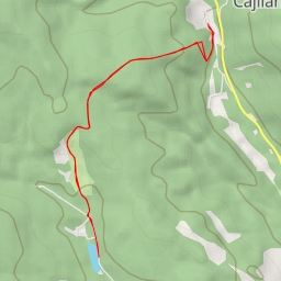
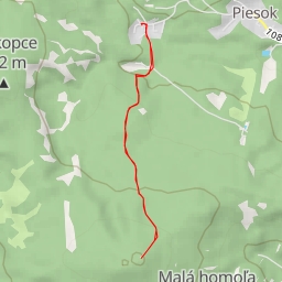
Welcome to the hiking route in Podhorská! This easy out-and-back trail spans approximately 2.8 kilometers with an elevation gain of 103 meters, making it a perfect choice for hikers of all levels. As you embark on this adventure, you'll discover various points of interest along the way.
Starting off, you'll find a convenient parking area just 0.02 kilometers from the trailhead. Feeling thirsty or in need of a break? Stop by the quaint pub, Krčma Pod Hradom, located right at the beginning of the trail.
As you continue your journey, at around 0.07 kilometers from the start, you'll come across a historic wayside cross that adds a touch of charm to the surrounding scenery. Further ahead, approximately 1.3 kilometers into the hike, you'll reach the peak of Opalenka where you can enjoy panoramic views of the area.
For those interested in learning more about the region, informational points such as 9 - Požiarna zbrojnica, 8 - Papiereň, and 7 - Kostol Navštívenia Panny Márie are situated along the trail, offering insights into the area's history and landmarks.
As you make your way back, don't miss the opportunity to visit the viewpoint at 1.4 kilometers from the start, where you can take in the breathtaking vistas before concluding your hike.
Remember to bring plenty of water, wear comfortable hiking shoes, and check the weather forecast before setting out. Whether you're a novice or experienced hiker, this scenic route in Podhorská promises an enjoyable and memorable adventure for all.