&fill=rgba(0,0,0,0))
Steinknochen
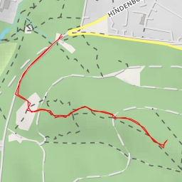
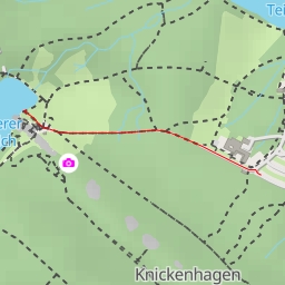
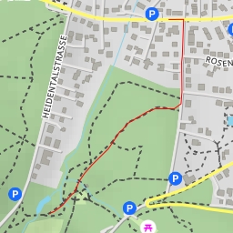
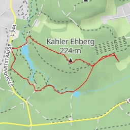
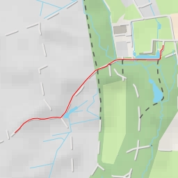
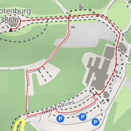
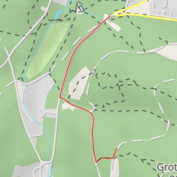
This hiking route takes you through the beautiful area of Steinknochen, known for its stunning natural landscapes and tranquil surroundings. The trail is 2.226 kilometers long with an elevation gain of 70 meters, making it an easy hike suitable for all skill levels.
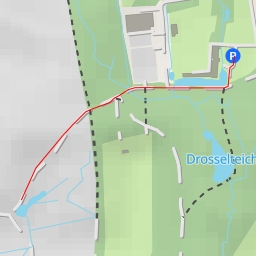
As you start your journey, you'll come across the Welandsborn parking area, where you can leave your vehicle before beginning the hike. Just a short distance from the start, you'll find the Rundwanderwege "Welandsborn" information point, providing you with valuable insights into the local area.
Further along the trail, at about 0.82 kilometers from the start, you'll reach the Steinknochenhütte shelter, a perfect spot to take a break and enjoy some rest. Nearby, you'll also find the Nunni-Bank bench, offering a peaceful place to sit and take in the surroundings.
As you continue on the trail, you'll pass by the picnic site, ideal for a snack or lunch break amidst the natural beauty of Steinknochen. About 1.11 kilometers from the start, you'll encounter the peak of Steinknochen, offering breathtaking views of the surrounding area.
At the end of the trail, you'll reach the destination of Steinknochen, where you can take in the majestic beauty of the Desenberg peak in the distance. Remember to bring plenty of water, wear appropriate hiking gear, and check the weather forecast before embarking on this adventure. Enjoy your hike in the scenic Steinknochen area!