&fill=rgba(0,0,0,0))
Gaibana - Bella Lasta


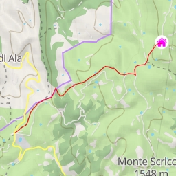
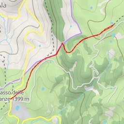
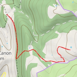
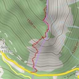
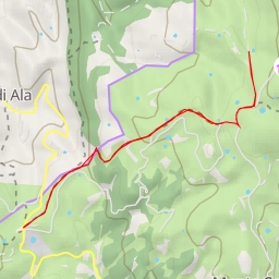
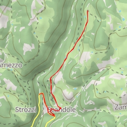
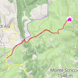
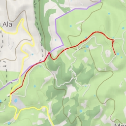
Welcome to the Gaibana - Bella Lasta hiking route! This moderate 5.5-kilometer out-and-back trail will take you through the beautiful natural landscapes of the area, offering stunning views and a mix of points of interest along the way.
Starting at the parking area conveniently located at the trailhead, you'll begin your journey towards the Rifugio Gaibana, an alpine hut located 2.77 kilometers from the start. This is a great spot to take a break, enjoy some refreshments, and take in the mountain views before continuing on your hike.
As you make your way along the trail, you'll come across a water source about 2.27 kilometers from the start, allowing you to refill your water bottle and stay hydrated. Further along, at just 0.77 kilometers from the start, you'll encounter another water source, ensuring you have access to fresh water throughout your hike.
One of the highlights of the trail is the Castel Gaibana peak, located 2.74 kilometers from the start. This peak offers panoramic views of the surrounding area and is a great spot for some photos and to enjoy the natural beauty of the region.
Other points of interest along the trail include the Buso del Vallon cave entrance, the Genzianella restaurant, and the Osservatorio viewpoint, each offering unique experiences and opportunities to learn more about the area.
Throughout the hike, you'll also come across various amenities such as parking areas, information points, and even a bar and restaurant for a post-hike meal. It's important to bring plenty of water, snacks, and to check the weather forecast before setting out on this adventure.
With a total elevation gain of 278 meters, this trail offers a good balance of challenge and reward for hikers of all skill levels. So lace up your hiking boots, grab your gear, and embark on a memorable outdoor experience along the Gaibana - Bella Lasta route.