&fill=rgba(0,0,0,0))
Stojerhöhe

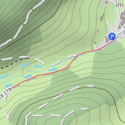
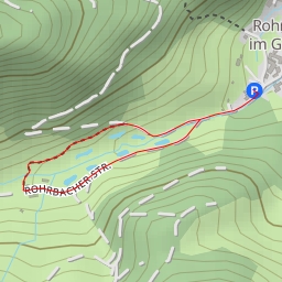
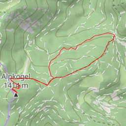
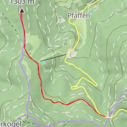
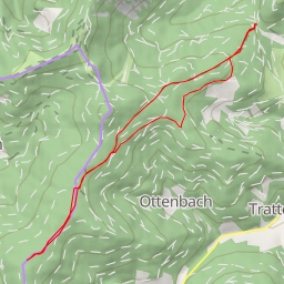
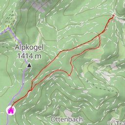
This hiking route takes you through the beautiful Stojerhöhe area, offering stunning views and a pleasant hiking experience. The trail is a circular route with a total distance of 3.214 kilometers and an elevation gain of 237 meters, making it a relatively easy hike suitable for all skill levels.
As you begin your journey, you will come across several points of interest along the trail. At the start, you will find parking facilities for your convenience. As you continue, you may encounter a restaurant called Flackl, where you can take a break and enjoy some local cuisine. Further along the trail, you will find a campsite and several benches where you can rest and take in the scenic surroundings.
One of the highlights of the hike is the Stojerhöhe peak, located approximately 1.41 kilometers from the starting point. This is a great spot to admire panoramic views of the area and snap some memorable photos.
It is recommended to bring plenty of water, wear comfortable hiking shoes, and check the weather forecast before embarking on this hike. Whether you're a seasoned hiker or just looking for a leisurely stroll in nature, this route offers a great outdoor experience for all. Enjoy the serenity of the Stojerhöhe area and take in the beauty of the surroundings as you explore this picturesque hiking trail.