&fill=rgba(0,0,0,0))
Steinkogel
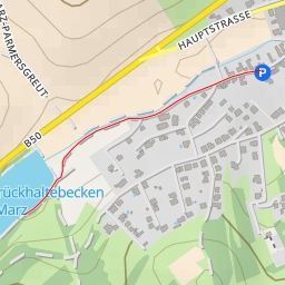
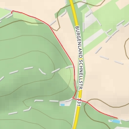
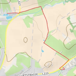
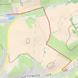
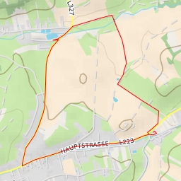
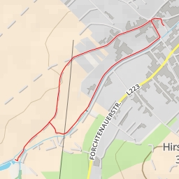
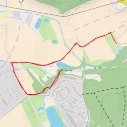
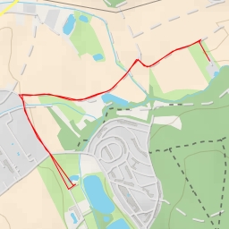
Welcome to the hiking route to Steinkogel! This trail is approximately 5.7 kilometers long with an elevation gain of 212 meters, making it a moderate hike that will take about 1 hour and 51 minutes to complete.
Starting at the parking area at the beginning of the trail, you will pass by the peak of Steinkogel, which is located 2.86 kilometers from the start. This peak offers stunning views of the surrounding area and is a great spot to take in the scenery.
As you continue on, you will come across the Aussichtsturm Wiesen-Lanzenkirchen viewpoint, also located 2.86 kilometers from the start. This is another excellent place to stop and admire the landscape.
If you're looking for a place to rest and have a picnic, you'll find a picnic site 2.86 kilometers from the start. This is a perfect spot to refuel and relax before continuing on your journey.
Further along the trail, you'll come across the Buschenschank Waldschenke restaurant, located at the beginning of the trail. This is a great place to grab a bite to eat after your hike.
Before setting out on this adventure, make sure to bring plenty of water, wear appropriate hiking gear, and check the weather forecast. With its moderate difficulty level, this hike is suitable for hikers of all skill levels.
Enjoy the beautiful views and peaceful surroundings as you make your way to Steinkogel and back. Happy hiking!