Ruine Burg Vorderstoffeln - Basaltwerk


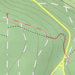
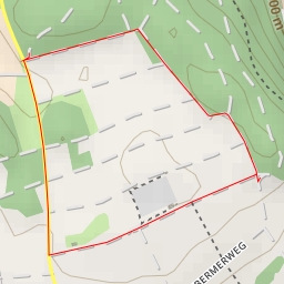
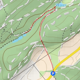
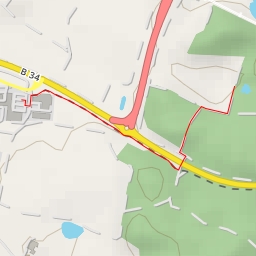
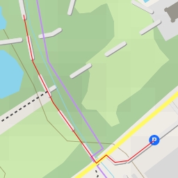
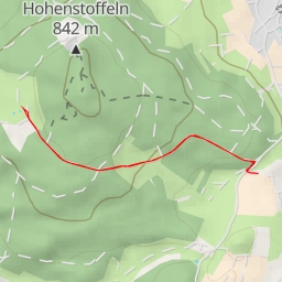
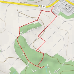
This hiking route will take you to the Ruine Burg Vorderstoffeln and Basaltwerk area, offering a pleasant and easy trek with a total distance of 3.689 kilometers and an elevation gain of 184 meters. The estimated duration for this hike is approximately 1 hour and 18 minutes.
Starting at the Wanderparkplatz parking area, you will set off on the trail that leads you through a beautiful natural setting. Along the way, you will encounter various points of interest.
Around 1.26 kilometers into the hike, you will come across an information point called "Eiche," where you can gather insights about the surrounding area. Continuing onwards, at approximately 1.74 kilometers from the start, you will find the Röger-Kreuz wayside cross, adding a touch of historic charm to your journey.
As you approach the 1.74 kilometers mark, you will encounter several more points of interest, including a shelter, a bench, a viewpoint, and the ruins of Hohenstoffeln castle. These landmarks offer opportunities to rest, admire the scenery, and learn more about the region's history.
Towards the end of the trail, at around 1.84 kilometers from the start, you will reach the peak of a natural formation, providing a breathtaking panoramic view of the surroundings. Nearby, you can also explore the ruins of Ruine Burg Vorderstoffeln, a historical site that adds cultural significance to your hike.
Before embarking on this journey, make sure to pack water, snacks, and appropriate gear for hiking. Additionally, checking the weather forecast before heading out is recommended to ensure a safe and enjoyable experience.
Overall, this hiking route offers a delightful blend of nature, history, and scenic viewpoints, making it a perfect choice for hikers of all levels. Enjoy the tranquility of the outdoors and immerse yourself in the beauty of the Ruine Burg Vorderstoffeln and Basaltwerk region.