&fill=rgba(0,0,0,0))
Basaltwerk


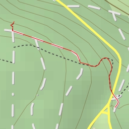
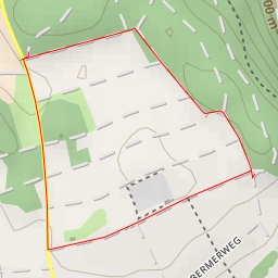
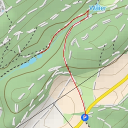
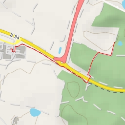
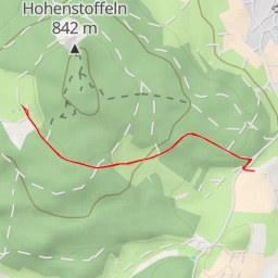
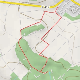
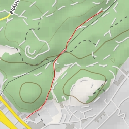
This hiking route in the area of Basaltwerk offers a pleasant and easy outdoor experience with a total distance of 3.907 kilometers and an elevation gain of 184 meters. The estimated duration for this hike is approximately 1 hour and 21 minutes.
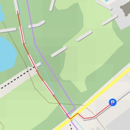
Starting at the Wanderparkplatz parking area, you will embark on a journey that takes you through beautiful natural surroundings. Along the trail, you will come across several points of interest including a shelter at 1.92 kilometers from the start, the Röger-Kreuz wayside cross at 1.75 kilometers, and an information point named Eiche at 1.26 kilometers.
As you continue your hike, you will encounter a bench at 1.95 kilometers, a viewpoint at the same distance, and the Ruine Hohenstoffeln castle at 1.92 kilometers. Towards the peak of the trail at 1.67 kilometers, you will find a peak marker and additional benches for resting. A historic site, Ruine Burg Vorderstoffeln, is located at 1.67 kilometers from the start, providing a glimpse into the region's past.
For those keen on exploration, there is an information point at Tiefental just 90 meters from the start, and the Hohenstoffeln peak at 1.91 kilometers. However, a peak further along the trail, which is 1.58 kilometers from the start, can only be accessed off the main path.
It is recommended to carry water, wear appropriate hiking gear, and check the weather forecast before setting out on this hike. The route is considered easy in terms of difficulty due to its length and elevation, making it suitable for hikers of all levels.
Enjoy the tranquility of the Basaltwerk area and immerse yourself in the natural beauty that surrounds you on this out-and-back hiking adventure.