&fill=rgba(0,0,0,0))
Tjødne


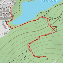
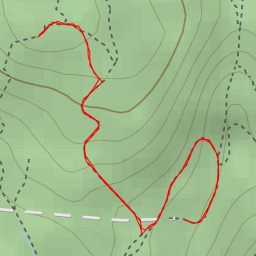
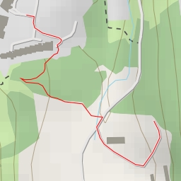
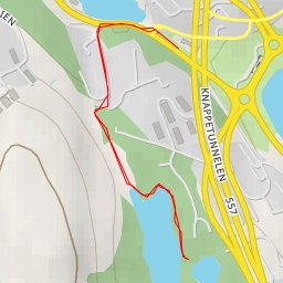
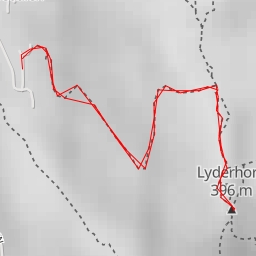
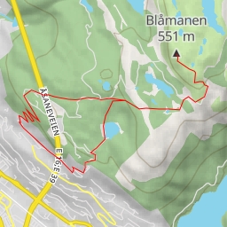
This hiking route takes you through the beautiful area surrounding Tjødne. The trail is 3.991 kilometers long with an elevation gain of 321 meters, making it a moderate difficulty hike. It is estimated to take approximately 1 hour and 43 minutes to complete.
As you start your journey, you will come across the ruins of a historic site at the very beginning of the trail. A perfect opportunity to learn more about the area's past. Continuing along the trail, you will reach a viewpoint at 1.59 kilometers, offering stunning panoramic views of the surroundings.
Midway through the hike, at 1.64 kilometers, you will encounter Løvstakken, a peak that provides a challenge but rewards you with breathtaking views at the top. Be sure to bring plenty of water and snacks as you navigate this part of the trail.
At the 2 kilometer mark, you will pass by Tjødne, a picturesque water feature where you can take a moment to rest and enjoy the peaceful surroundings. As you make your way back, consider stopping at the designated takeoff spot for free flying enthusiasts, located at 2 kilometers from the start.
Before embarking on this hike, be sure to check the weather forecast and pack essentials such as water, a map, and proper hiking gear. Overall, this hike offers a mix of historical sites, natural beauty, and challenging terrain, making it a rewarding outdoor adventure for hikers of all levels.