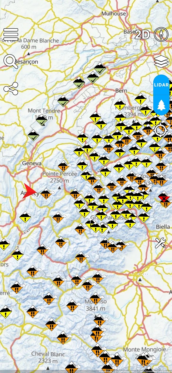
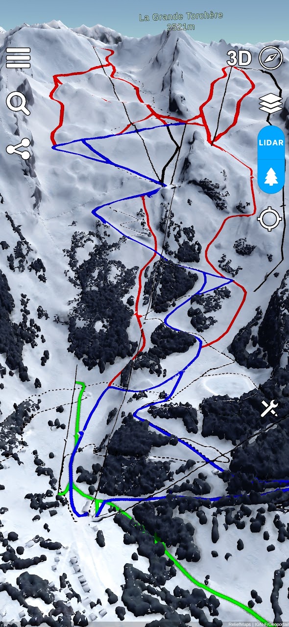
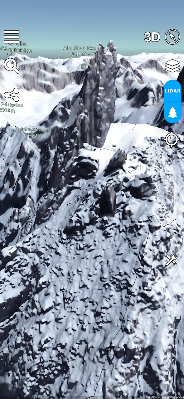
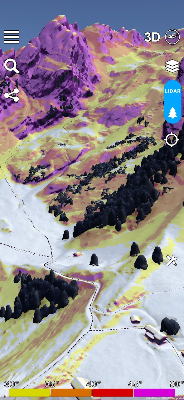
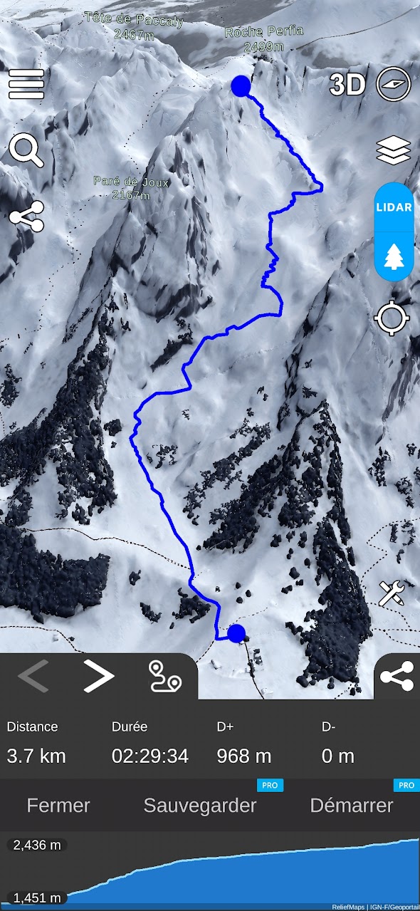
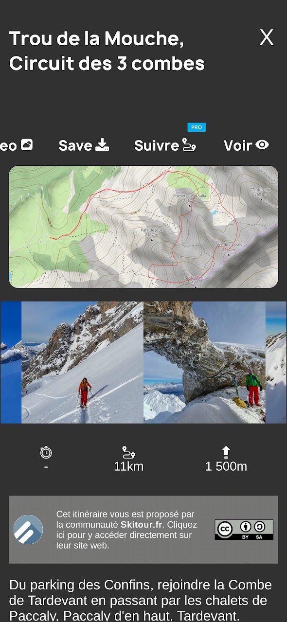
Explore the peaks like never before with our high-resolution 3D maps and advanced terrain analysis tools.
Discover our 3D maps with unmatched resolution, it's like being there. Explore every valley, every ridge with surgical precision.
Check the real-time updated snow cover to know where to put on your skis or where to hike in spring. Our AI analyzes satellite data to give you the most accurate view.
Slope maps, face orientations, all the tools in one app. Prepare your outings by identifying risk areas and the best passages.
Stay informed with avalanche risk reports and weather information worldwide. Never leave without knowing the conditions.
In a few clicks, Relief Maps gives you an estimate of the distance, the difference in altitude and the time required to cover your route, ideal for hiking and trekking!
You will never run out of ideas with our database of over 1 million routes.
Reassure your relatives, share your position in real time with them.
A few years ago I was looking for a quick and easy to use app to go to the mountains, but I couldn't find anything that really suited me. That's how I started the Relief Maps project, the goal of the app: to provide a quality tool while remaining as easy to use as possible
Join thousands of mountain enthusiasts and start exploring today.